
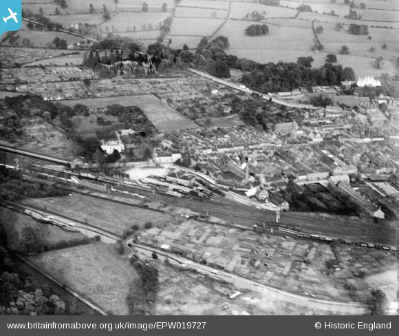
EPW019727 ENGLAND (1927). The Railway Station, Atherstone, 1927
© Copyright OpenStreetMap contributors and licensed by the OpenStreetMap Foundation. 2026. Cartography is licensed as CC BY-SA.
Nearby Images (4)
EPW019727

EPW019728

EPW021028

EPW021027

Details
| Title | [EPW019727] The Railway Station, Atherstone, 1927 |
| Reference | EPW019727 |
| Date | October-1927 |
| Link | |
| Place name | ATHERSTONE |
| Parish | ATHERSTONE |
| District | |
| Country | ENGLAND |
| Easting / Northing | 430552, 297919 |
| Longitude / Latitude | -1.549090373877, 52.57786892155 |
| National Grid Reference | SP306979 |
Pins
Be the first to add a comment to this image!