
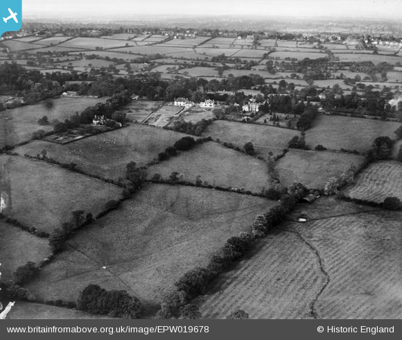
EPW019678 ENGLAND (1927). Totteridge Common, Totteridge, from the south-east, 1927
© Copyright OpenStreetMap contributors and licensed by the OpenStreetMap Foundation. 2026. Cartography is licensed as CC BY-SA.
Nearby Images (3)
EPW019678

EPW019677

EPW019672

Details
| Title | [EPW019678] Totteridge Common, Totteridge, from the south-east, 1927 |
| Reference | EPW019678 |
| Date | 18-October-1927 |
| Link | |
| Place name | TOTTERIDGE |
| Parish | |
| District | |
| Country | ENGLAND |
| Easting / Northing | 523964, 193844 |
| Longitude / Latitude | -0.2087932574038, 51.629266603632 |
| National Grid Reference | TQ240938 |
Pins
Be the first to add a comment to this image!