
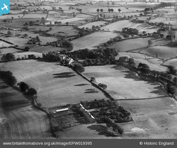
EPW019395 ENGLAND (1927). Deanwater House, Kingstreet and surrounding countryside, Woodford, 1927
© Copyright OpenStreetMap contributors and licensed by the OpenStreetMap Foundation. 2026. Cartography is licensed as CC BY-SA.
Nearby Images (5)
EPW019395

EPW019644

EPW019645

EPW019643

EPW038617

Details
| Title | [EPW019395] Deanwater House, Kingstreet and surrounding countryside, Woodford, 1927 |
| Reference | EPW019395 |
| Date | September-1927 |
| Link | |
| Place name | WOODFORD |
| Parish | |
| District | |
| Country | ENGLAND |
| Easting / Northing | 387689, 382002 |
| Longitude / Latitude | -2.1848940507914, 53.334514112495 |
| National Grid Reference | SJ877820 |
Pins

John Ellis |
Saturday 27th of August 2016 12:11:09 PM | |
|
John Ellis |
Thursday 18th of August 2016 10:48:05 PM | |
|
John Ellis |
Thursday 18th of August 2016 10:46:17 PM | |
|
John Ellis |
Thursday 18th of August 2016 10:42:00 PM | |
|
John Ellis |
Thursday 18th of August 2016 10:25:49 PM | |
|
John Ellis |
Thursday 18th of August 2016 10:25:09 PM | |
|
John Ellis |
Thursday 18th of August 2016 10:24:35 PM |
User Comment Contributions
This photograph looks southwards. |
John Ellis |
Thursday 18th of August 2016 10:26:46 PM |