
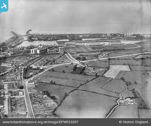
EPW019267 ENGLAND (1927). The Royal Edward Dock and environs, Avonmouth, 1927
© Copyright OpenStreetMap contributors and licensed by the OpenStreetMap Foundation. 2026. Cartography is licensed as CC BY-SA.
Nearby Images (5)
EPW019267

EPW019268

EPW044781

EPW044775

EPW044779

Details
| Title | [EPW019267] The Royal Edward Dock and environs, Avonmouth, 1927 |
| Reference | EPW019267 |
| Date | 1-September-1927 |
| Link | |
| Place name | AVONMOUTH |
| Parish | |
| District | |
| Country | ENGLAND |
| Easting / Northing | 351613, 178569 |
| Longitude / Latitude | -2.6972152106811, 51.503498700118 |
| National Grid Reference | ST516786 |
Pins

NicTomkins |
Monday 18th of May 2020 12:08:35 PM | |
|
NicTomkins |
Monday 18th of May 2020 12:06:29 PM | |
|
pewseyfam |
Monday 25th of August 2014 08:53:53 PM | |

Class31 |
Saturday 22nd of February 2014 07:57:56 PM | |
|
Class31 |
Saturday 16th of February 2013 11:27:34 PM | |
|
Class31 |
Monday 6th of August 2012 04:17:42 PM |