
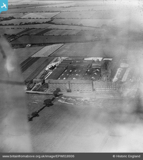
EPW018936 ENGLAND (1927). Penketh Tannery, Penketh, 1927
© Copyright OpenStreetMap contributors and licensed by the OpenStreetMap Foundation. 2026. Cartography is licensed as CC BY-SA.
Nearby Images (15)
EPW018936

EAW002747

EPW018937

EAW002749

EAW004109

EAW004105

EAW004110

EAW004108

EAW002746

EAW002745

EAW002744

EAW004106

EAW002748

EAW004111

EAW004107

Details
| Title | [EPW018936] Penketh Tannery, Penketh, 1927 |
| Reference | EPW018936 |
| Date | July-1927 |
| Link | |
| Place name | PENKETH |
| Parish | PENKETH |
| District | |
| Country | ENGLAND |
| Easting / Northing | 355634, 387173 |
| Longitude / Latitude | -2.6670180256502, 53.379279650563 |
| National Grid Reference | SJ556872 |
Pins
Be the first to add a comment to this image!