
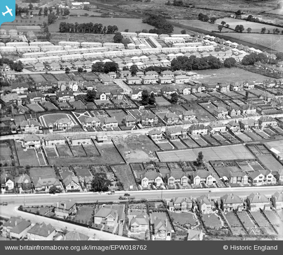
EPW018762 ENGLAND (1927). Flambard Road and environs, Greenhill, 1927
© Copyright OpenStreetMap contributors and licensed by the OpenStreetMap Foundation. 2026. Cartography is licensed as CC BY-SA.
Nearby Images (6)
EPW018762

EPW017165

EPW017164

EPW017166

EPW018761

EPW017167

Details
| Title | [EPW018762] Flambard Road and environs, Greenhill, 1927 |
| Reference | EPW018762 |
| Date | July-1927 |
| Link | |
| Place name | GREENHILL |
| Parish | |
| District | |
| Country | ENGLAND |
| Easting / Northing | 516316, 188240 |
| Longitude / Latitude | -0.32110882716541, 51.580528615843 |
| National Grid Reference | TQ163882 |
Pins

The Laird |
Wednesday 6th of January 2016 02:28:20 PM | |
|
John Wass |
Wednesday 13th of May 2015 03:55:33 PM | |
|
Sweet Pete |
Thursday 26th of February 2015 03:40:21 PM | |
|
Sweet Pete |
Thursday 26th of February 2015 03:39:41 PM | |
|
Sweet Pete |
Thursday 26th of February 2015 03:39:18 PM | |
Northwick Avenue |
The Laird |
Saturday 28th of March 2015 11:17:46 PM |
|
Sweet Pete |
Thursday 26th of February 2015 03:38:29 PM | |
|
The Laird |
Tuesday 7th of January 2014 10:46:22 AM |