
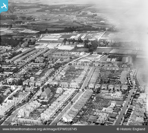
EPW018745 ENGLAND (1927). Windsor Road and environs, Worthing, 1927
© Copyright OpenStreetMap contributors and licensed by the OpenStreetMap Foundation. 2026. Cartography is licensed as CC BY-SA.
Nearby Images (2)
EPW018745

EPW018754

Details
| Title | [EPW018745] Windsor Road and environs, Worthing, 1927 |
| Reference | EPW018745 |
| Date | July-1927 |
| Link | |
| Place name | WORTHING |
| Parish | |
| District | |
| Country | ENGLAND |
| Easting / Northing | 515804, 103091 |
| Longitude / Latitude | -0.35597365564668, 50.815212290259 |
| National Grid Reference | TQ158031 |
Pins

SophieWattsit |
Tuesday 9th of February 2021 11:37:32 PM | |
|
SophieWattsit |
Tuesday 9th of February 2021 11:36:27 PM |