
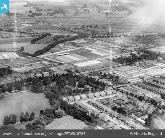
EPW018738 ENGLAND (1927). Homefield Park, Chesswood Road nurseries and environs, Worthing, 1927
© Copyright OpenStreetMap contributors and licensed by the OpenStreetMap Foundation. 2026. Cartography is licensed as CC BY-SA.
Nearby Images (3)
EPW018738

EPW018736

EPW011526

Details
| Title | [EPW018738] Homefield Park, Chesswood Road nurseries and environs, Worthing, 1927 |
| Reference | EPW018738 |
| Date | July-1927 |
| Link | |
| Place name | WORTHING |
| Parish | |
| District | |
| Country | ENGLAND |
| Easting / Northing | 515425, 103541 |
| Longitude / Latitude | -0.36121021027531, 50.81933340963 |
| National Grid Reference | TQ154035 |
Pins

SophieWattsit |
Thursday 23rd of April 2026 01:55:59 AM | |
|
SophieWattsit |
Thursday 23rd of April 2026 01:48:45 AM |