
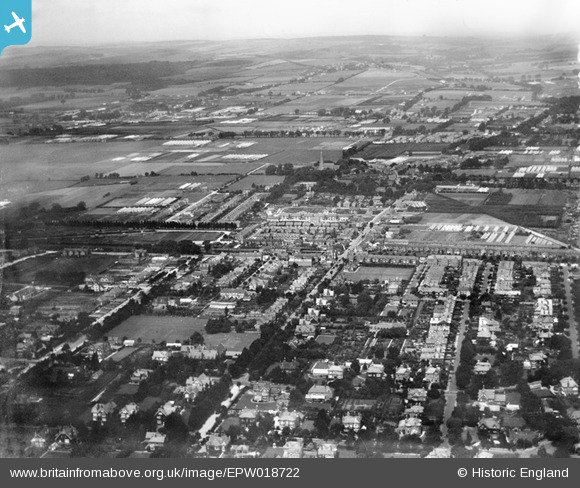
EPW018722 ENGLAND (1927). West Worthing and West Tarring, Worthing, from the south-east, 1927
© Copyright OpenStreetMap contributors and licensed by the OpenStreetMap Foundation. 2026. Cartography is licensed as CC BY-SA.
Nearby Images (2)
EPW018722

EPW011530

Details
| Title | [EPW018722] West Worthing and West Tarring, Worthing, from the south-east, 1927 |
| Reference | EPW018722 |
| Date | July-1927 |
| Link | |
| Place name | WORTHING |
| Parish | |
| District | |
| Country | ENGLAND |
| Easting / Northing | 513451, 102848 |
| Longitude / Latitude | -0.38943923394526, 50.813493535202 |
| National Grid Reference | TQ135028 |
