
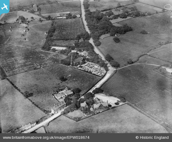
EPW018674 ENGLAND (1927). Christ Church and environs, Harwood, 1927
© Copyright OpenStreetMap contributors and licensed by the OpenStreetMap Foundation. 2026. Cartography is licensed as CC BY-SA.
Nearby Images (3)
EPW018674

EPW018676

EPW018675

Details
| Title | [EPW018674] Christ Church and environs, Harwood, 1927 |
| Reference | EPW018674 |
| Date | 2-July-1927 |
| Link | |
| Place name | HARWOOD |
| Parish | |
| District | |
| Country | ENGLAND |
| Easting / Northing | 374803, 410981 |
| Longitude / Latitude | -2.3807441280956, 53.594558780299 |
| National Grid Reference | SD748110 |
Pins
Be the first to add a comment to this image!