
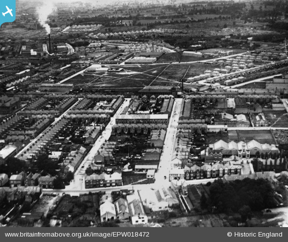
EPW018472 ENGLAND (1927). Constance Road, Dorothy Road and environs, Leicester, 1927. This image has been produced from a print.
© Copyright OpenStreetMap contributors and licensed by the OpenStreetMap Foundation. 2026. Cartography is licensed as CC BY-SA.
Nearby Images (4)
EPW018472

EPW018473

EPW018655

EPW018448

Details
| Title | [EPW018472] Constance Road, Dorothy Road and environs, Leicester, 1927. This image has been produced from a print. |
| Reference | EPW018472 |
| Date | June-1927 |
| Link | |
| Place name | LEICESTER |
| Parish | |
| District | |
| Country | ENGLAND |
| Easting / Northing | 460988, 304261 |
| Longitude / Latitude | -1.0987684702342, 52.632319602669 |
| National Grid Reference | SK610043 |
Pins
Be the first to add a comment to this image!