
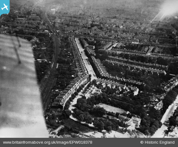
EPW018378 ENGLAND (1927). At Albans Road and Kingswood Road, Moseley, 1927. This image has been produced from a print.
© Copyright OpenStreetMap contributors and licensed by the OpenStreetMap Foundation. 2026. Cartography is licensed as CC BY-SA.
Nearby Images (2)
EPW018378

EPW018370

Details
| Title | [EPW018378] At Albans Road and Kingswood Road, Moseley, 1927. This image has been produced from a print. |
| Reference | EPW018378 |
| Date | 10-June-1927 |
| Link | |
| Place name | MOSELEY |
| Parish | |
| District | |
| Country | ENGLAND |
| Easting / Northing | 408080, 283666 |
| Longitude / Latitude | -1.8810937680583, 52.450519497239 |
| National Grid Reference | SP081837 |
Pins
Be the first to add a comment to this image!