
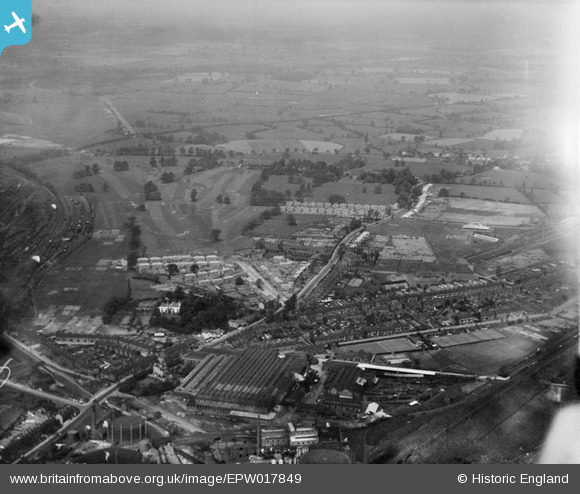
EPW017849 ENGLAND (1927). Oxley, Wolverhampton, from the south-east, 1927
© Copyright OpenStreetMap contributors and licensed by the OpenStreetMap Foundation. 2026. Cartography is licensed as CC BY-SA.
Nearby Images (6)
EPW017849

EPW017844

EPW017851

EPW011794

EPW017848

EPW061266

Details
| Title | [EPW017849] Oxley, Wolverhampton, from the south-east, 1927 |
| Reference | EPW017849 |
| Date | April-1927 |
| Link | |
| Place name | WOLVERHAMPTON |
| Parish | |
| District | |
| Country | ENGLAND |
| Easting / Northing | 391375, 300801 |
| Longitude / Latitude | -2.1273713855219, 52.604570458768 |
| National Grid Reference | SJ914008 |
Pins
Be the first to add a comment to this image!