
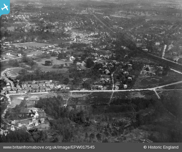
EPW017545 ENGLAND (1927). The Heath and Oatlands Park, Weybridge, from the west, 1927
© Copyright OpenStreetMap contributors and licensed by the OpenStreetMap Foundation. 2026. Cartography is licensed as CC BY-SA.
Nearby Images (5)
EPW017545

EPW017538

EPW017541

EPW017547

EPW017540

Details
| Title | [EPW017545] The Heath and Oatlands Park, Weybridge, from the west, 1927 |
| Reference | EPW017545 |
| Date | 8-April-1927 |
| Link | |
| Place name | WEYBRIDGE |
| Parish | |
| District | |
| Country | ENGLAND |
| Easting / Northing | 507279, 164062 |
| Longitude / Latitude | -0.4588372176207, 51.364978888549 |
| National Grid Reference | TQ073641 |
Pins

richardj |
Wednesday 8th of March 2017 03:16:50 PM | |
|
richardj |
Friday 3rd of March 2017 06:16:51 PM | |
|
richardj |
Thursday 2nd of March 2017 07:27:19 PM | |
|
richardj |
Thursday 2nd of March 2017 07:22:10 PM | |
|
richardj |
Thursday 2nd of March 2017 07:12:41 PM | |
|
richardj |
Thursday 2nd of March 2017 07:10:14 PM | |
|
richardj |
Thursday 2nd of March 2017 07:02:15 PM | |
|
richardj |
Thursday 2nd of March 2017 07:00:23 PM | |
|
richardj |
Thursday 2nd of March 2017 06:59:21 PM | |
|
mpg |
Sunday 10th of August 2014 03:11:52 PM |