
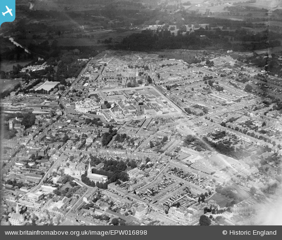
EPW016898 ENGLAND (1926). Holy Trinity Church and HM Prison, Maidstone, from the south-east, 1926
© Copyright OpenStreetMap contributors and licensed by the OpenStreetMap Foundation. 2026. Cartography is licensed as CC BY-SA.
Nearby Images (4)
EPW016898

EPW026073

EPW009209

EPW009212

Details
| Title | [EPW016898] Holy Trinity Church and HM Prison, Maidstone, from the south-east, 1926 |
| Reference | EPW016898 |
| Date | August-1926 |
| Link | |
| Place name | MAIDSTONE |
| Parish | |
| District | |
| Country | ENGLAND |
| Easting / Northing | 576254, 156115 |
| Longitude / Latitude | 0.52728959653106, 51.276369063878 |
| National Grid Reference | TQ763561 |
