
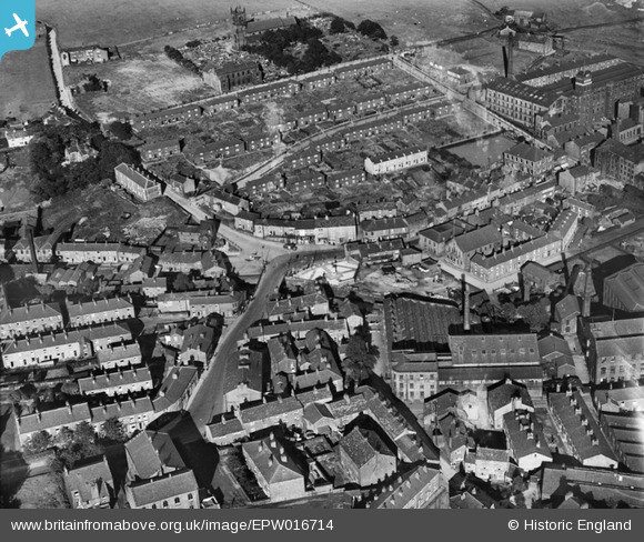
EPW016714 ENGLAND (1926). St James's Church and the town centre, Milnrow, 1926
© Copyright OpenStreetMap contributors and licensed by the OpenStreetMap Foundation. 2026. Cartography is licensed as CC BY-SA.
Nearby Images (2)
EPW016714

EPW016716

Details
| Title | [EPW016714] St James's Church and the town centre, Milnrow, 1926 |
| Reference | EPW016714 |
| Date | 29-August-1926 |
| Link | |
| Place name | MILNROW |
| Parish | |
| District | |
| Country | ENGLAND |
| Easting / Northing | 392641, 412746 |
| Longitude / Latitude | -2.111242503874, 53.610978922465 |
| National Grid Reference | SD926127 |
Pins

Weathervane |
Monday 12th of May 2014 05:57:11 AM | |
|
Weathervane |
Monday 12th of May 2014 05:50:33 AM | |
|
PH2011 |
Friday 7th of February 2014 08:50:33 PM | |
|
steepletom |
Tuesday 28th of August 2012 10:09:57 PM | |
|
PH2011 |
Monday 30th of July 2012 10:08:16 PM | |
|
Weathervane |
Sunday 8th of July 2012 05:42:22 PM | |
|
Weathervane |
Sunday 8th of July 2012 05:42:00 PM | |
|
Weathervane |
Sunday 8th of July 2012 05:40:45 PM |
User Comment Contributions
Tims terrace was built in 1886,it was built on the site where the house of John Collier (Tim Bobbin)once stood,hence the name. |
steepletom |
Tuesday 28th of August 2012 10:15:17 PM |