
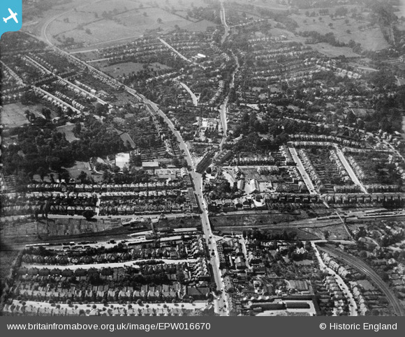
EPW016670 ENGLAND (1926). Regent's Park Road and environs, Church End, from the north-east, 1926
© Copyright OpenStreetMap contributors and licensed by the OpenStreetMap Foundation. 2026. Cartography is licensed as CC BY-SA.
Nearby Images (2)
EPW016670

EPW006286

Details
| Title | [EPW016670] Regent's Park Road and environs, Church End, from the north-east, 1926 |
| Reference | EPW016670 |
| Date | August-1926 |
| Link | |
| Place name | CHURCH END |
| Parish | |
| District | |
| Country | ENGLAND |
| Easting / Northing | 525181, 190701 |
| Longitude / Latitude | -0.19234059689028, 51.600748295207 |
| National Grid Reference | TQ252907 |
Pins
Be the first to add a comment to this image!