
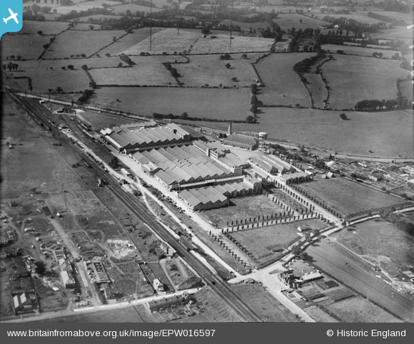
EPW016597 ENGLAND (1926). The Greenford Factories, Greenford, 1926
© Copyright OpenStreetMap contributors and licensed by the OpenStreetMap Foundation. 2026. Cartography is licensed as CC BY-SA.
Nearby Images (19)
EPW016597

EPW016604

EPW016603

EPW016599

EPW016600

EPW016595

EPW009436

EPW016596

EPW031778

EPW016601

EPW016594

EPW016602

EPR000635

EPW006964

EPW016598

EPW031777

EPW008029

EPW008030

EPW031779

Details
| Title | [EPW016597] The Greenford Factories, Greenford, 1926 |
| Reference | EPW016597 |
| Date | 26-August-1926 |
| Link | |
| Place name | GREENFORD |
| Parish | |
| District | |
| Country | ENGLAND |
| Easting / Northing | 514582, 184181 |
| Longitude / Latitude | -0.34744924707927, 51.544398887696 |
| National Grid Reference | TQ146842 |
Pins

Leslie B |
Wednesday 6th of April 2016 08:27:00 PM |