
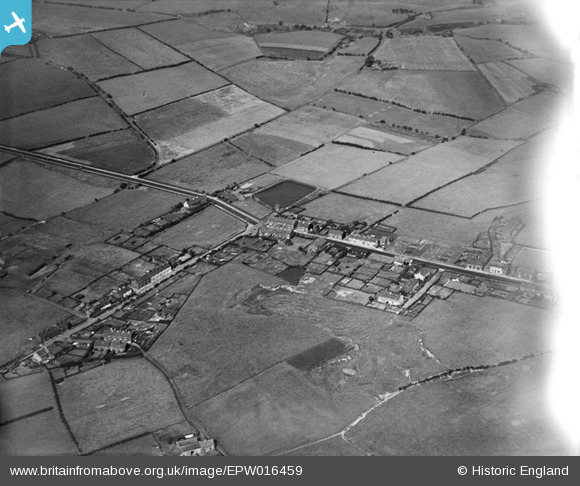
EPW016459 ENGLAND (1926). Top of Hebers, Middleton, 1926
© Copyright OpenStreetMap contributors and licensed by the OpenStreetMap Foundation. 2025. Cartography is licensed as CC BY-SA.
Nearby Images (2)
EPW016459

EPW016460

Details
| Title | [EPW016459] Top of Hebers, Middleton, 1926 |
| Reference | EPW016459 |
| Date | 6-August-1926 |
| Link | |
| Place name | MIDDLETON |
| Parish | |
| District | |
| Country | ENGLAND |
| Easting / Northing | 386546, 407530 |
| Longitude / Latitude | -2.2031522417596, 53.563969776504 |
| National Grid Reference | SD865075 |
Pins
Be the first to add a comment to this image!