
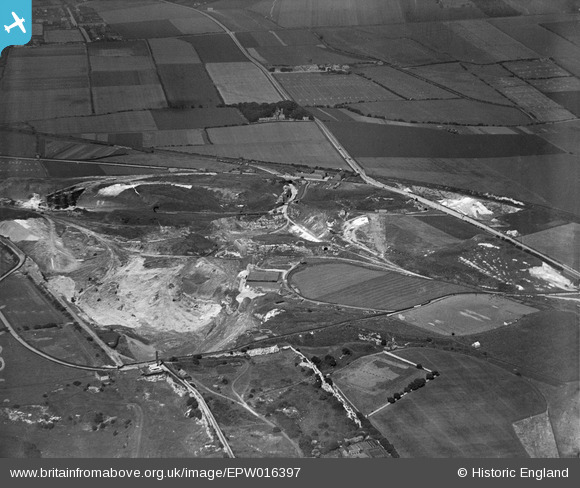
EPW016397 ENGLAND (1926). Fulwell Quarry, Sunderland, 1926
© Copyright OpenStreetMap contributors and licensed by the OpenStreetMap Foundation. 2026. Cartography is licensed as CC BY-SA.
Nearby Images (8)
EPW016397

EPW016399

EPW016402

EPW016394

EPW016398

EPW016395

EPW016396

EPW016400

Details
| Title | [EPW016397] Fulwell Quarry, Sunderland, 1926 |
| Reference | EPW016397 |
| Date | 29-July-1926 |
| Link | |
| Place name | SUNDERLAND |
| Parish | |
| District | |
| Country | ENGLAND |
| Easting / Northing | 438876, 559964 |
| Longitude / Latitude | -1.3932154292834, 54.932756305363 |
| National Grid Reference | NZ389600 |
Pins

PinzaC55 |
Monday 14th of October 2024 04:13:07 PM | |
|
bryzee |
Sunday 10th of January 2016 03:13:52 PM | |
|
bryzee |
Sunday 10th of January 2016 03:12:11 PM | |
|
kevin n |
Tuesday 3rd of December 2013 01:09:32 PM | |
|
kevin n |
Tuesday 3rd of December 2013 12:57:15 PM | |
|
MalcolmGH |
Friday 19th of October 2012 05:18:59 PM |