
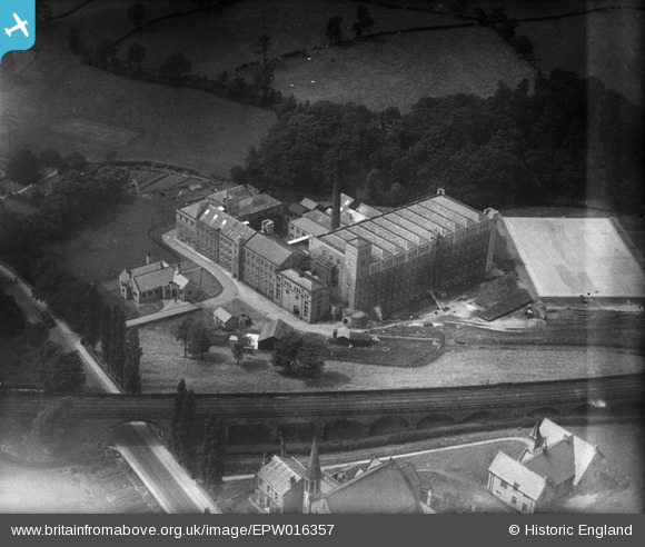
EPW016357 ENGLAND (1926). Waterhouse Mills, Bollington, 1926
© Copyright OpenStreetMap contributors and licensed by the OpenStreetMap Foundation. 2025. Cartography is licensed as CC BY-SA.
Nearby Images (6)
EPW016357

EPW016353

EPW016359

EPW016355

EPW016354

EPW034223

Details
| Title | [EPW016357] Waterhouse Mills, Bollington, 1926 |
| Reference | EPW016357 |
| Date | July-1926 |
| Link | |
| Place name | BOLLINGTON |
| Parish | BOLLINGTON |
| District | |
| Country | ENGLAND |
| Easting / Northing | 392961, 377874 |
| Longitude / Latitude | -2.1056245114651, 53.297500943149 |
| National Grid Reference | SJ930779 |
Pins
Be the first to add a comment to this image!