
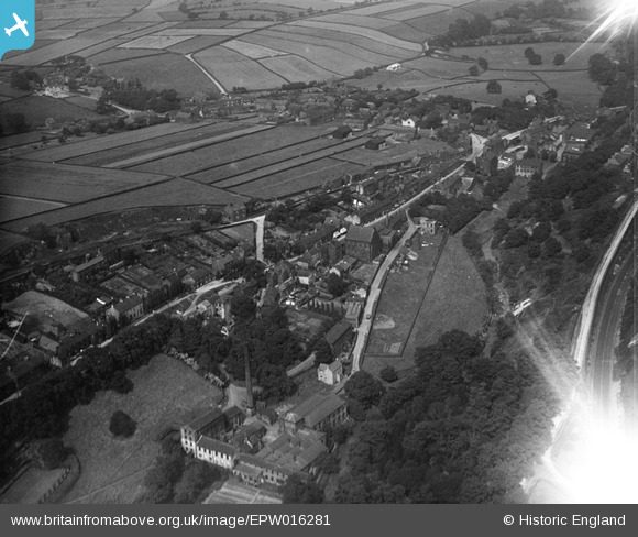
EPW016281 ENGLAND (1926). Manchester Road and environs, Thurlstone, 1926
© Copyright OpenStreetMap contributors and licensed by the OpenStreetMap Foundation. 2025. Cartography is licensed as CC BY-SA.
Nearby Images (2)
EPW016281

EPW016277

Details
| Title | [EPW016281] Manchester Road and environs, Thurlstone, 1926 |
| Reference | EPW016281 |
| Date | 14-July-1926 |
| Link | |
| Place name | THURLSTONE |
| Parish | PENISTONE |
| District | |
| Country | ENGLAND |
| Easting / Northing | 423072, 403404 |
| Longitude / Latitude | -1.6519249719306, 53.526545438544 |
| National Grid Reference | SE231034 |
Pins
Be the first to add a comment to this image!