
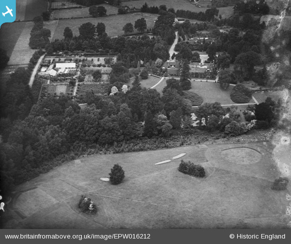
EPW016212 ENGLAND (1926). Stanbridge Earls, Romsey, 1926
© Copyright OpenStreetMap contributors and licensed by the OpenStreetMap Foundation. 2026. Cartography is licensed as CC BY-SA.
Nearby Images (2)
EPW016212

EPW016214

Details
| Title | [EPW016212] Stanbridge Earls, Romsey, 1926 |
| Reference | EPW016212 |
| Date | July-1926 |
| Link | |
| Place name | ROMSEY |
| Parish | ROMSEY EXTRA |
| District | |
| Country | ENGLAND |
| Easting / Northing | 433783, 123107 |
| Longitude / Latitude | -1.51844464231, 51.005815190703 |
| National Grid Reference | SU338231 |
Pins
Be the first to add a comment to this image!