
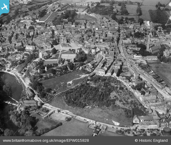
EPW015828 ENGLAND (1926). Knaresborough Castle and the town centre, Knaresborough, 1926
© Copyright OpenStreetMap contributors and licensed by the OpenStreetMap Foundation. 2026. Cartography is licensed as CC BY-SA.
Nearby Images (5)
EPW015828

EPW015791

EPW015830

EPW015829

EPW015827

Details
| Title | [EPW015828] Knaresborough Castle and the town centre, Knaresborough, 1926 |
| Reference | EPW015828 |
| Date | 5-June-1926 |
| Link | |
| Place name | KNARESBOROUGH |
| Parish | KNARESBOROUGH |
| District | |
| Country | ENGLAND |
| Easting / Northing | 434916, 456805 |
| Longitude / Latitude | -1.4672051337805, 54.005896159164 |
| National Grid Reference | SE349568 |
Pins

John W |
Saturday 2nd of July 2016 05:33:22 PM | |
|
John W |
Saturday 2nd of July 2016 05:32:43 PM | |
|
aoxomoxoa |
Saturday 4th of October 2014 01:49:19 PM | |

Class31 |
Monday 16th of July 2012 04:37:40 PM | |
|
Class31 |
Monday 16th of July 2012 04:36:55 PM | |
|
Class31 |
Monday 16th of July 2012 04:36:37 PM |