
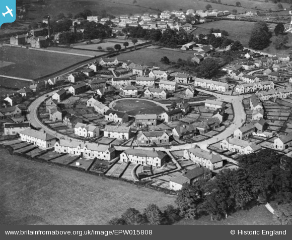
EPW015808 ENGLAND (1926). The Oval, Otley, 1926. This image has been produced from a copy-negative.
© Copyright OpenStreetMap contributors and licensed by the OpenStreetMap Foundation. 2026. Cartography is licensed as CC BY-SA.
Nearby Images (2)
EPW015808

EPW024486

Details
| Title | [EPW015808] The Oval, Otley, 1926. This image has been produced from a copy-negative. |
| Reference | EPW015808 |
| Date | 5-June-1926 |
| Link | |
| Place name | OTLEY |
| Parish | OTLEY |
| District | |
| Country | ENGLAND |
| Easting / Northing | 419687, 446319 |
| Longitude / Latitude | -1.7002614941829, 53.912446509349 |
| National Grid Reference | SE197463 |
Pins
Be the first to add a comment to this image!