
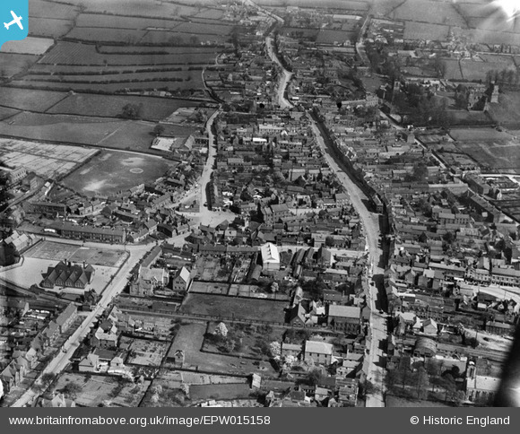
EPW015158 ENGLAND (1926). Market Street and environs, Ashby-de-la-Zouch, 1926
© Copyright OpenStreetMap contributors and licensed by the OpenStreetMap Foundation. 2025. Cartography is licensed as CC BY-SA.
Nearby Images (12)
EPW015158

EPW015164

EPW015159

EPW015163

EPW015157

EAW036571

EAW036569

EAW036572

EAW036566

EAW036565

EAW036568

EAW036573

Details
| Title | [EPW015158] Market Street and environs, Ashby-de-la-Zouch, 1926 |
| Reference | EPW015158 |
| Date | 13-April-1926 |
| Link | |
| Place name | ASHBY-DE-LA-ZOUCH |
| Parish | ASHBY-DE-LA-ZOUCH |
| District | |
| Country | ENGLAND |
| Easting / Northing | 435711, 316800 |
| Longitude / Latitude | -1.4709072948116, 52.747301304612 |
| National Grid Reference | SK357168 |
Pins
 Carole |
Thursday 12th of July 2012 11:12:05 PM | |
Carole |
Thursday 12th of July 2012 11:10:11 PM | |
Carole |
Thursday 12th of July 2012 11:09:34 PM | |
Carole |
Thursday 12th of July 2012 11:08:31 PM | |
Carole |
Thursday 12th of July 2012 11:07:56 PM |