
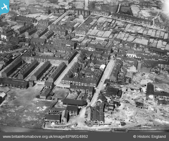
EPW014862 ENGLAND (1926). Hope Street and environs, Mexborough, 1926
© Copyright OpenStreetMap contributors and licensed by the OpenStreetMap Foundation. 2025. Cartography is licensed as CC BY-SA.
Nearby Images (2)
EPW014862

EPW014863

Details
| Title | [EPW014862] Hope Street and environs, Mexborough, 1926 |
| Reference | EPW014862 |
| Date | 5-April-1926 |
| Link | |
| Place name | MEXBOROUGH |
| Parish | |
| District | |
| Country | ENGLAND |
| Easting / Northing | 447127, 399814 |
| Longitude / Latitude | -1.2895826477399, 53.492668817014 |
| National Grid Reference | SK471998 |
Pins
Be the first to add a comment to this image!