
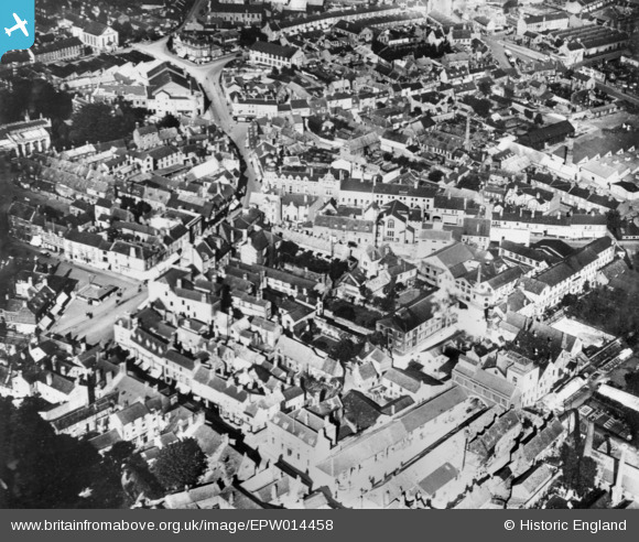
EPW014458 ENGLAND (1925). The town centre, Wellingborough, 1925. This image has been produced from a copy-negative.
© Copyright OpenStreetMap contributors and licensed by the OpenStreetMap Foundation. 2026. Cartography is licensed as CC BY-SA.
Nearby Images (7)
EPW014458

EPW040738

EPW040740

EPW040741

EPW040739

EPW040742

EPW040737

Details
| Title | [EPW014458] The town centre, Wellingborough, 1925. This image has been produced from a copy-negative. |
| Reference | EPW014458 |
| Date | October-1925 |
| Link | |
| Place name | WELLINGBOROUGH |
| Parish | |
| District | |
| Country | ENGLAND |
| Easting / Northing | 489296, 267846 |
| Longitude / Latitude | -0.69030933478286, 52.30107790332 |
| National Grid Reference | SP893678 |
Pins
Be the first to add a comment to this image!