
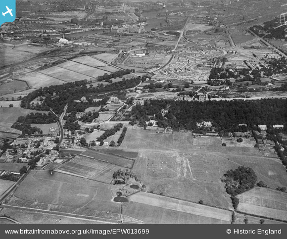
EPW013699 ENGLAND (1925). Bidston and Bidston Hill, Bidston, from the west, 1925
© Copyright OpenStreetMap contributors and licensed by the OpenStreetMap Foundation. 2026. Cartography is licensed as CC BY-SA.
Nearby Images (2)
EPW013699

EPW013698

Details
| Title | [EPW013699] Bidston and Bidston Hill, Bidston, from the west, 1925 |
| Reference | EPW013699 |
| Date | 12-July-1925 |
| Link | |
| Place name | BIDSTON |
| Parish | |
| District | |
| Country | ENGLAND |
| Easting / Northing | 328149, 390027 |
| Longitude / Latitude | -3.0808241520842, 53.401908031079 |
| National Grid Reference | SJ281900 |
Pins

kinmel |
Saturday 21st of December 2013 10:26:22 PM | |
|
beast66606 |
Friday 13th of September 2013 09:28:24 AM |