
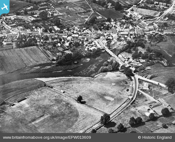
EPW013609 ENGLAND (1925). The town, Fordingbridge, 1925. This image has been produced from a copy-negative.
© Copyright OpenStreetMap contributors and licensed by the OpenStreetMap Foundation. 2026. Cartography is licensed as CC BY-SA.
Nearby Images (2)
EPW013609

EPW013610

Details
| Title | [EPW013609] The town, Fordingbridge, 1925. This image has been produced from a copy-negative. |
| Reference | EPW013609 |
| Date | June-1925 |
| Link | |
| Place name | FORDINGBRIDGE |
| Parish | FORDINGBRIDGE |
| District | |
| Country | ENGLAND |
| Easting / Northing | 414937, 114121 |
| Longitude / Latitude | -1.7874483595814, 50.925800020675 |
| National Grid Reference | SU149141 |
Pins

Edward |
Tuesday 23rd of July 2019 09:48:44 PM |