
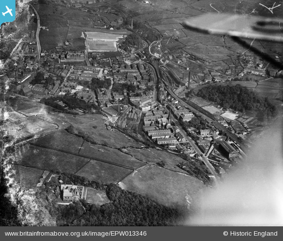
EPW013346 ENGLAND (1925). Bacup Road and environs, Waterfoot, 1925
© Copyright OpenStreetMap contributors and licensed by the OpenStreetMap Foundation. 2026. Cartography is licensed as CC BY-SA.
Nearby Images (3)
EPW013346

EPW013345

EPW013347

Details
| Title | [EPW013346] Bacup Road and environs, Waterfoot, 1925 |
| Reference | EPW013346 |
| Date | June-1925 |
| Link | |
| Place name | WATERFOOT |
| Parish | |
| District | |
| Country | ENGLAND |
| Easting / Northing | 383310, 421885 |
| Longitude / Latitude | -2.2527846222928, 53.692916509157 |
| National Grid Reference | SD833219 |
Pins

Waterfoot William |
Friday 28th of June 2024 02:18:17 PM | |
|
ssShaunW1 |
Wednesday 18th of August 2021 04:54:12 PM | |
|
ssShaunW1 |
Wednesday 18th of August 2021 04:53:38 PM | |
|
ssShaunW1 |
Tuesday 8th of December 2020 07:15:05 PM | |
|
ssShaunW1 |
Tuesday 8th of December 2020 07:14:29 PM | |
|
The Local Historian |
Sunday 22nd of December 2019 04:19:43 PM |