
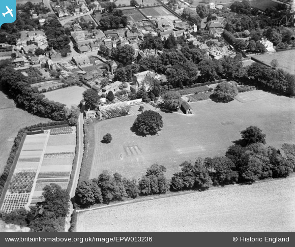
EPW013236 ENGLAND (1925). Tormore and surrounds, Upper Deal, 1925
© Copyright OpenStreetMap contributors and licensed by the OpenStreetMap Foundation. 2026. Cartography is licensed as CC BY-SA.
Nearby Images (6)
EPW013236

EPW013234

EPW013237

EPW013235

EPW013233

EPW013238

Details
| Title | [EPW013236] Tormore and surrounds, Upper Deal, 1925 |
| Reference | EPW013236 |
| Date | June-1925 |
| Link | |
| Place name | UPPER DEAL |
| Parish | DEAL |
| District | |
| Country | ENGLAND |
| Easting / Northing | 636125, 151751 |
| Longitude / Latitude | 1.3814945899267, 51.215534693826 |
| National Grid Reference | TR361518 |
