
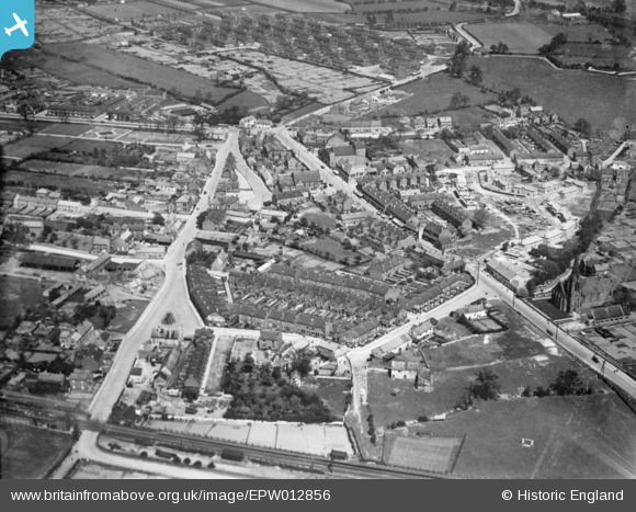
EPW012856 ENGLAND (1925). The village, Bentley, 1925. This image has been produced from a copy-negative.
© Copyright OpenStreetMap contributors and licensed by the OpenStreetMap Foundation. 2026. Cartography is licensed as CC BY-SA.
Nearby Images (6)
EPW012856

EPW042045

EAW003082

EPW042043

EPW042042

EAW046012

Details
| Title | [EPW012856] The village, Bentley, 1925. This image has been produced from a copy-negative. |
| Reference | EPW012856 |
| Date | May-1925 |
| Link | |
| Place name | BENTLEY |
| Parish | |
| District | |
| Country | ENGLAND |
| Easting / Northing | 456560, 405775 |
| Longitude / Latitude | -1.1463240215733, 53.545319241428 |
| National Grid Reference | SE566058 |
Pins
Be the first to add a comment to this image!