
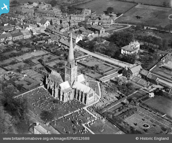
EPW012688 ENGLAND (1925). St Patrick's Church, Patrington, 1925
© Copyright OpenStreetMap contributors and licensed by the OpenStreetMap Foundation. 2026. Cartography is licensed as CC BY-SA.
Nearby Images (2)
EPW012688

EPW012689

Details
| Title | [EPW012688] St Patrick's Church, Patrington, 1925 |
| Reference | EPW012688 |
| Date | 6-May-1925 |
| Link | |
| Place name | PATRINGTON |
| Parish | PATRINGTON |
| District | |
| Country | ENGLAND |
| Easting / Northing | 531533, 422593 |
| Longitude / Latitude | -0.0081690422570515, 53.68298486279 |
| National Grid Reference | TA315226 |
