
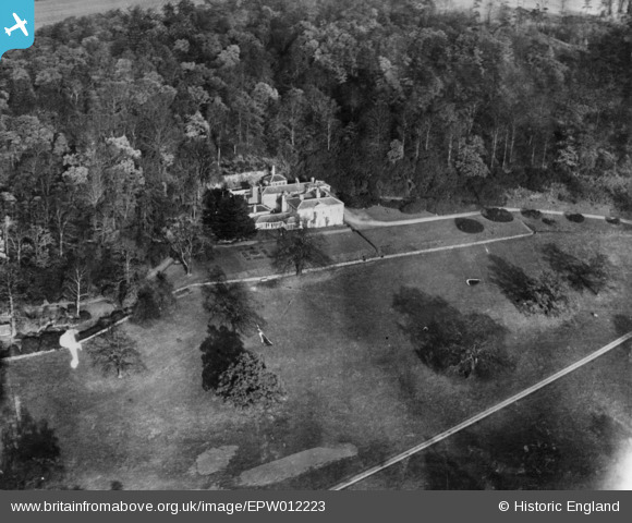
EPW012223 ENGLAND (1924). Bramcote Hills, Bramcote, 1924. This image has been produced from a copy-negative.
© Copyright OpenStreetMap contributors and licensed by the OpenStreetMap Foundation. 2026. Cartography is licensed as CC BY-SA.
Nearby Images (3)
EPW012223

EAW021894

EAW021893

Details
| Title | [EPW012223] Bramcote Hills, Bramcote, 1924. This image has been produced from a copy-negative. |
| Reference | EPW012223 |
| Date | October-1924 |
| Link | |
| Place name | BRAMCOTE |
| Parish | |
| District | |
| Country | ENGLAND |
| Easting / Northing | 450175, 338476 |
| Longitude / Latitude | -1.253290556095, 52.941012547323 |
| National Grid Reference | SK502385 |
Pins
Be the first to add a comment to this image!