
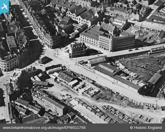
EPW011798 ENGLAND (1924). The Chubb Buildings and environs, Wolverhampton, 1924. This image has been produced from a copy-negative.
© Copyright OpenStreetMap contributors and licensed by the OpenStreetMap Foundation. 2026. Cartography is licensed as CC BY-SA.
Nearby Images (12)
EPW011798

EPW011780

EPW011777

EPW057474

EPW011774

EPW057486

EPW057488

EPW057487

EPW057489

EPW057491

EPW057485

EAW017630

Details
| Title | [EPW011798] The Chubb Buildings and environs, Wolverhampton, 1924. This image has been produced from a copy-negative. |
| Reference | EPW011798 |
| Date | September-1924 |
| Link | |
| Place name | WOLVERHAMPTON |
| Parish | |
| District | |
| Country | ENGLAND |
| Easting / Northing | 391782, 298791 |
| Longitude / Latitude | -2.1213110241449, 52.586505237791 |
| National Grid Reference | SO918988 |
Pins

peter stuart legat |
Sunday 30th of May 2021 04:41:31 PM | |
|
peter stuart legat |
Sunday 30th of May 2021 04:40:17 PM | |
|
peter stuart legat |
Sunday 30th of May 2021 04:39:07 PM |