
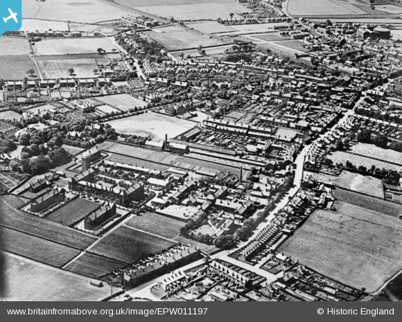
EPW011197 ENGLAND (1924). Ormskirk Union Institution, Wigan Road and environs, Ormskirk, 1924. This image has been produced from a copy-negative.
© Copyright OpenStreetMap contributors and licensed by the OpenStreetMap Foundation. 2026. Cartography is licensed as CC BY-SA.
Nearby Images (2)
EPW011197

EPW011996

Details
| Title | [EPW011197] Ormskirk Union Institution, Wigan Road and environs, Ormskirk, 1924. This image has been produced from a copy-negative. |
| Reference | EPW011197 |
| Date | July-1924 |
| Link | |
| Place name | ORMSKIRK |
| Parish | |
| District | |
| Country | ENGLAND |
| Easting / Northing | 341961, 408042 |
| Longitude / Latitude | -2.8764171183095, 53.565534368727 |
| National Grid Reference | SD420080 |
Pins
Be the first to add a comment to this image!