
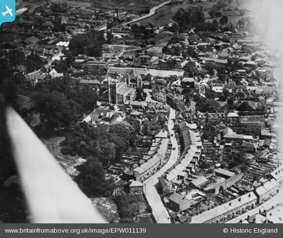
EPW011139 ENGLAND (1924). Mortimer Lane and environs, Basingstoke, 1924. This image has been produced from a copy-negative.
© Copyright OpenStreetMap contributors and licensed by the OpenStreetMap Foundation. 2026. Cartography is licensed as CC BY-SA.
Nearby Images (9)
EPW011139

EPW033384

EPW022757

EPW033379

EPW011140

EPW011143

EPW011142

EPW022758

EPW011141

Details
| Title | [EPW011139] Mortimer Lane and environs, Basingstoke, 1924. This image has been produced from a copy-negative. |
| Reference | EPW011139 |
| Date | July-1924 |
| Link | |
| Place name | BASINGSTOKE |
| Parish | |
| District | |
| Country | ENGLAND |
| Easting / Northing | 463615, 152144 |
| Longitude / Latitude | -1.0881233994987, 51.26438793997 |
| National Grid Reference | SU636521 |
Pins
Be the first to add a comment to this image!
User Comment Contributions
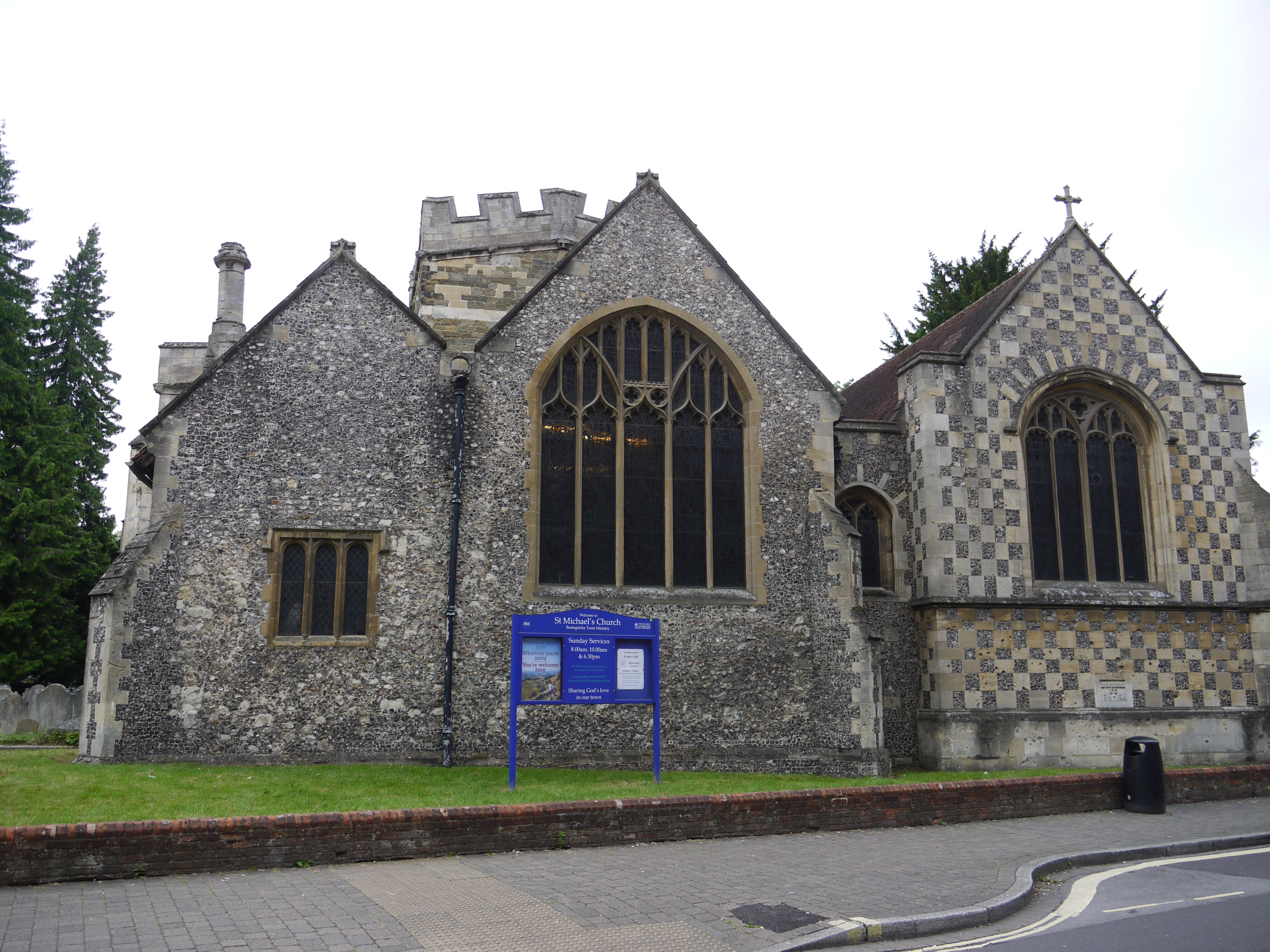
St. Michael's Church, Basingstoke, 19/06/2016 |

Class31 |
Monday 20th of June 2016 02:49:11 PM |