
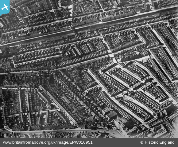
EPW010951 ENGLAND (1924). The residential area surrounding Blake's Road and Gloucester Grove, Camberwell, 1924. This image has been produced from a copy-negative.
© Copyright OpenStreetMap contributors and licensed by the OpenStreetMap Foundation. 2026. Cartography is licensed as CC BY-SA.
Nearby Images (2)
EPW010951

EAW000540

Details
| Title | [EPW010951] The residential area surrounding Blake's Road and Gloucester Grove, Camberwell, 1924. This image has been produced from a copy-negative. |
| Reference | EPW010951 |
| Date | June-1924 |
| Link | |
| Place name | CAMBERWELL |
| Parish | |
| District | |
| Country | ENGLAND |
| Easting / Northing | 533353, 177446 |
| Longitude / Latitude | -0.079426128442268, 51.479744732993 |
| National Grid Reference | TQ334774 |
Pins
Be the first to add a comment to this image!