
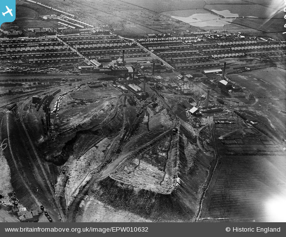
EPW010632 ENGLAND (1924). The Ashington Colliery and environs, Ashington, 1924
© Copyright OpenStreetMap contributors and licensed by the OpenStreetMap Foundation. 2026. Cartography is licensed as CC BY-SA.
Nearby Images (5)
EPW010632

EPW010629

EPW010633

EPW010631

EPW010630

Details
| Title | [EPW010632] The Ashington Colliery and environs, Ashington, 1924 |
| Reference | EPW010632 |
| Date | 14-June-1924 |
| Link | |
| Place name | ASHINGTON |
| Parish | ASHINGTON |
| District | |
| Country | ENGLAND |
| Easting / Northing | 426580, 588226 |
| Longitude / Latitude | -1.5824919875701, 55.187550256004 |
| National Grid Reference | NZ266882 |
Pins

Rob McGinley |
Friday 1st of October 2021 07:36:25 PM | |
|
Rob McGinley |
Friday 1st of October 2021 07:35:17 PM |