
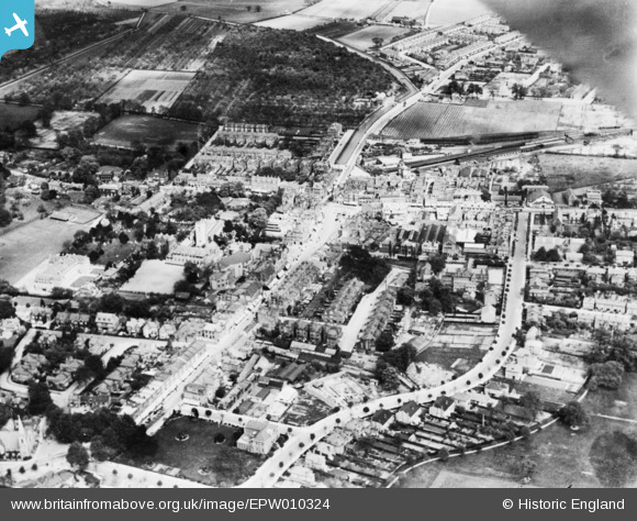
EPW010324 ENGLAND (1924). Cecil Road, Church Street and environs, Enfield, 1924. This image has been produced from a copy-negative.
© Copyright OpenStreetMap contributors and licensed by the OpenStreetMap Foundation. 2026. Cartography is licensed as CC BY-SA.
Nearby Images (7)
EPW010324

EPW013318

EPW013315

EPW025294

EPW025292

EPW001541

EPW025293

Details
| Title | [EPW010324] Cecil Road, Church Street and environs, Enfield, 1924. This image has been produced from a copy-negative. |
| Reference | EPW010324 |
| Date | April-1924 |
| Link | |
| Place name | ENFIELD |
| Parish | |
| District | |
| Country | ENGLAND |
| Easting / Northing | 532785, 196553 |
| Longitude / Latitude | -0.080381355745275, 51.651600125356 |
| National Grid Reference | TQ328966 |
Pins

Macmartyn |
Friday 28th of November 2014 05:13:40 PM |