
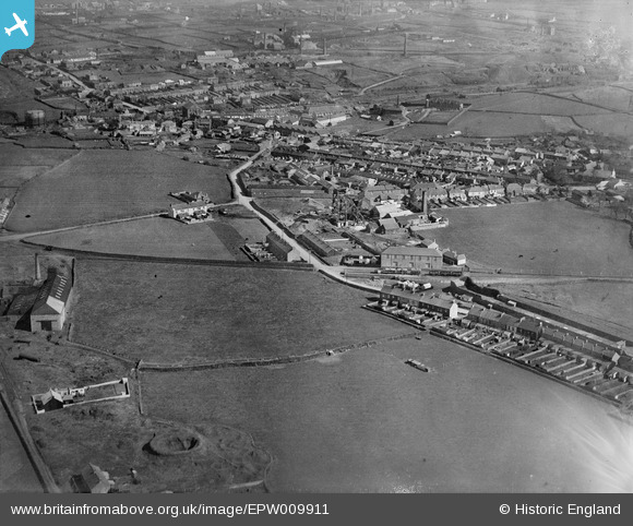
EPW009911 ENGLAND (1924). Roskear, Tuckingmill, 1924
© Copyright OpenStreetMap contributors and licensed by the OpenStreetMap Foundation. 2026. Cartography is licensed as CC BY-SA.
Nearby Images (14)
EPW009911

EPW009915

EPW009917

EPW009913

EPW009914

EPW009916

EPW009912

EAW027861

EAW027862

EAW027863

EPW009928

EPW009926

EPW009927

EAW027864

Details
| Title | [EPW009911] Roskear, Tuckingmill, 1924 |
| Reference | EPW009911 |
| Date | March-1924 |
| Link | |
| Place name | TUCKINGMILL |
| Parish | CAMBORNE |
| District | |
| Country | ENGLAND |
| Easting / Northing | 165521, 41002 |
| Longitude / Latitude | -5.287571769872, 50.221844439144 |
| National Grid Reference | SW655410 |
Pins

Ritchiet |
Wednesday 16th of May 2018 10:01:35 AM |