
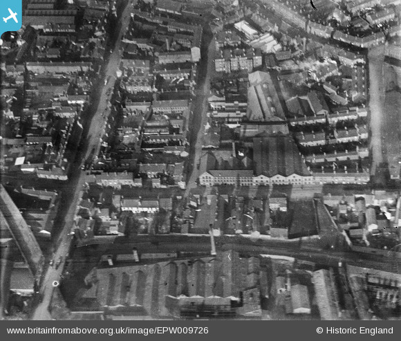
EPW009726 ENGLAND (1923). The Galvanised Iron Works in Bordesley, Birmingham, 1923
© Copyright OpenStreetMap contributors and licensed by the OpenStreetMap Foundation. 2026. Cartography is licensed as CC BY-SA.
Nearby Images (4)
EPW009726

EPW009728

EPW009725

EPW009729

Details
| Title | [EPW009726] The Galvanised Iron Works in Bordesley, Birmingham, 1923 |
| Reference | EPW009726 |
| Date | 1923 |
| Link | |
| Place name | BIRMINGHAM |
| Parish | |
| District | |
| Country | ENGLAND |
| Easting / Northing | 408364, 286661 |
| Longitude / Latitude | -1.8768392738633, 52.477443300812 |
| National Grid Reference | SP084867 |
Pins

Dylan Moore |
Monday 6th of May 2013 07:57:16 PM | |
|
Dylan Moore |
Monday 6th of May 2013 07:56:55 PM | |
|
Dylan Moore |
Monday 6th of May 2013 07:56:20 PM | |
|
Dylan Moore |
Monday 6th of May 2013 07:55:35 PM | |
This was more of an uncompleted route - the GWR was trying to get into New Street, but in the end went for their own 'Snow Hill' station, leaving this partly-built viaduct. |

John W |
Sunday 1st of January 2017 03:31:42 PM |
|
Dylan Moore |
Monday 6th of May 2013 07:54:59 PM | |
|
Dylan Moore |
Monday 6th of May 2013 07:54:36 PM | |
|
Dylan Moore |
Monday 6th of May 2013 07:54:09 PM | |
|
Dylan Moore |
Monday 6th of May 2013 06:15:38 PM | |
|
Dylan Moore |
Monday 6th of May 2013 06:15:09 PM |
User Comment Contributions
Thanks for all the pins to confirm the location, it's really helpful. We'll update the catalogue, and post the new data here in due course. Yours, Katy Britain from Above Cataloguing Team Leader |
Katy Whitaker |
Monday 1st of July 2013 01:55:21 PM |
This is Birmingham |
John Duffield |
Friday 14th of June 2013 06:07:34 PM |