
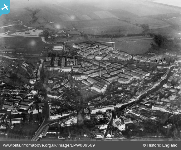
EPW009569 ENGLAND (1923). Linoleum Works, Staines, 1923
© Copyright OpenStreetMap contributors and licensed by the OpenStreetMap Foundation. 2026. Cartography is licensed as CC BY-SA.
Nearby Images (23)
EPW009569

EPW023480

EPW009567

EPW061665

EPW023481

EPW009570

EPW023473

EPW023477

EPW023488

EPW023491

EPW023472

EPW023471

EPW023475

EPW023478

EPW023474

EPW023486

EPW023485

EPW061668

EPW009568

EPW061672

EPW023490

EPW049560

EPW061676

Details
| Title | [EPW009569] Linoleum Works, Staines, 1923 |
| Reference | EPW009569 |
| Date | 1923 |
| Link | |
| Place name | STAINES |
| Parish | |
| District | |
| Country | ENGLAND |
| Easting / Northing | 503487, 171815 |
| Longitude / Latitude | -0.51103095944523, 51.435379210541 |
| National Grid Reference | TQ035718 |
Pins

Liz |
Thursday 20th of May 2021 10:11:29 AM | |

Class31 |
Tuesday 15th of September 2015 04:15:10 PM | |
|
Class31 |
Tuesday 15th of September 2015 04:14:03 PM | |
|
Class31 |
Tuesday 15th of September 2015 04:07:53 PM | |
|
Billy121 |
Thursday 17th of July 2014 11:33:02 AM | |
|
Billy121 |
Thursday 17th of July 2014 11:32:18 AM |


User Comment Contributions
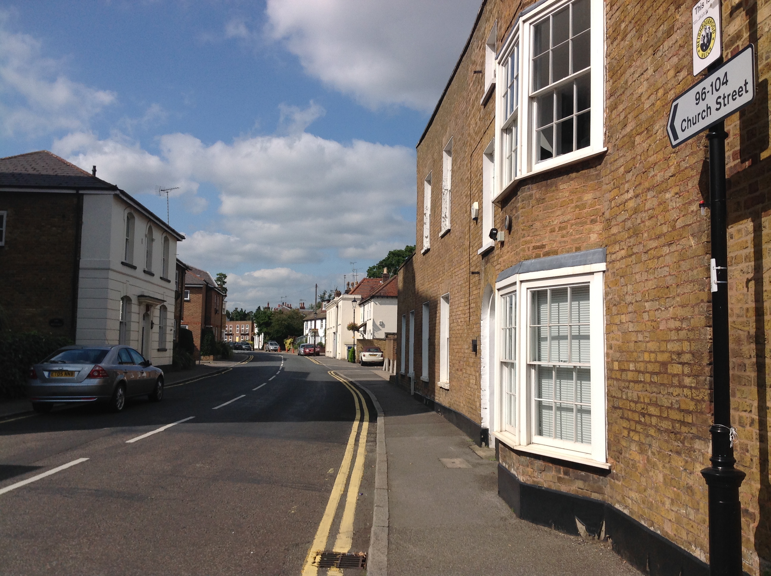
Church Street, Staines, 07/09/2015 |
Class31 |
Tuesday 15th of September 2015 04:07:14 PM |