
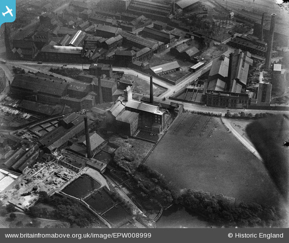
EPW008999 ENGLAND (1923). The Borough Corn Mill and environs, Bolton, 1923
© Copyright OpenStreetMap contributors and licensed by the OpenStreetMap Foundation. 2026. Cartography is licensed as CC BY-SA.
Nearby Images (18)
EPW008999

EPW008994

EPW008992

EPW008993

EPW008997

EPW008998

EPW008995

EPW008996

EAW047044

EAW047046

EAW047047
 Ltd Minerva Saw Mills, Bolton, 1952. This image was marked by Aerofilms Ltd for photo editing.")
EAW047045
 Ltd Minerva Saw Mills, Bolton, 1952. This image was marked by Aerofilms Ltd for photo editing.")
EAW047048
 Ltd Minerva Saw Mills, Bolton, 1952. This image was marked by Aerofilms Ltd for photo editing.")
EAW047049

EAW047043
 Ltd Minerva Saw Mills on Bark Street, Bolton, 1952. This image was marked by Aerofilms Ltd for photo editing.")
EAW047042
 Ltd Minerva Saw Mills on Bark Street, Bolton, 1952. This image was marked by Aerofilms Ltd for photo editing.")
EPW019164

EPW019167

Details
| Title | [EPW008999] The Borough Corn Mill and environs, Bolton, 1923 |
| Reference | EPW008999 |
| Date | 13-July-1923 |
| Link | |
| Place name | BOLTON |
| Parish | |
| District | |
| Country | ENGLAND |
| Easting / Northing | 371086, 409214 |
| Longitude / Latitude | -2.4367451061308, 53.578483209329 |
| National Grid Reference | SD711092 |
