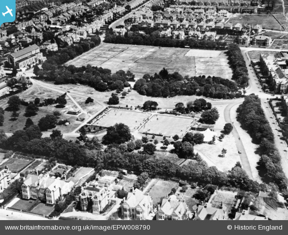
EPW008790 ENGLAND (1923). Clarence Park, Weston-super-Mare, 1923. This image has been produced from a copy-negative.
    © Copyright OpenStreetMap contributors and licensed by the OpenStreetMap Foundation. 2025. Cartography is licensed as CC BY-SA.
  
Details
| Title | [EPW008790] Clarence Park, Weston-super-Mare, 1923. This image has been produced from a copy-negative. | 
| Reference | EPW008790 | 
| Date | 1923 | 
| Link | |
| Place name | WESTON-SUPER-MARE | 
| Parish | WESTON-SUPER-MARE | 
| District | |
| Country | ENGLAND | 
| Easting / Northing | 331859, 160151 | 
| Longitude / Latitude | -2.9782731515835, 51.335859677635 | 
| National Grid Reference | ST319602 | 
Pins
|  Cafe in the park. |   Pete L | Sunday 25th of January 2015 12:12:17 AM | 
 
             
  ![[EPW008790] Clarence Park, Weston-super-Mare, 1923. This image has been produced from a copy-negative.](http://britainfromabove.org.uk/sites/all/libraries/aerofilms-images/public/100x100/EPW/008/EPW008790.jpg) 
  
                                          ![[EPW023958] Clarence Park, Weston-Super-Mare, 1928](http://britainfromabove.org.uk/sites/all/libraries/aerofilms-images/public/100x100/EPW/023/EPW023958.jpg) 
 ![[EPW024079] Clarence Park and houses on Beach Road, Weston-super-Mare, from the north-west, 1928](http://britainfromabove.org.uk/sites/all/libraries/aerofilms-images/public/100x100/EPW/024/EPW024079.jpg) 
 ![[EPW024080] The Royal West of England Sanatorium, Weston-super-Mare, 1928](http://britainfromabove.org.uk/sites/all/libraries/aerofilms-images/public/100x100/EPW/024/EPW024080.jpg)