
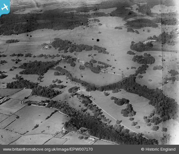
EPW007170 ENGLAND (1921). Eastwell Lake and Park, Eastwell Park, 1921
© Copyright OpenStreetMap contributors and licensed by the OpenStreetMap Foundation. 2026. Cartography is licensed as CC BY-SA.
Nearby Images (2)
EPW007170

EPW007172

Details
| Title | [EPW007170] Eastwell Lake and Park, Eastwell Park, 1921 |
| Reference | EPW007170 |
| Date | 6-October-1921 |
| Link | |
| Place name | EASTWELL PARK |
| Parish | EASTWELL |
| District | |
| Country | ENGLAND |
| Easting / Northing | 601148, 146995 |
| Longitude / Latitude | 0.87866825930738, 51.18621351431 |
| National Grid Reference | TR011470 |
Pins

Chris G |
Sunday 22nd of March 2020 04:42:50 PM | |
|
Chris |
Friday 29th of June 2012 03:02:28 PM | |
This is incorrect. It is thought that the use of big guns in Eastwell Park during WW2 weakened the structure. Either way water got into the chalk-filled walls and the weight of the roof resulted in a collapse during the 1950s |
Chris G |
Sunday 22nd of March 2020 04:39:32 PM |
|
Chris |
Friday 29th of June 2012 03:01:37 PM |