
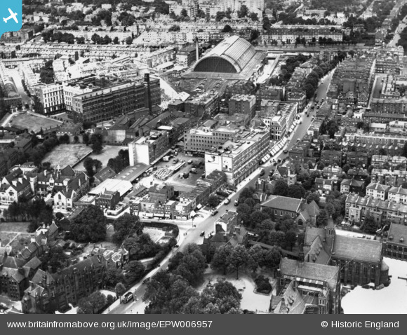
EPW006957 ENGLAND (1921). Cadby Hall off Hammersmith Road and environs, Hammersmith, 1921. This image has been produced from a print.
© Copyright OpenStreetMap contributors and licensed by the OpenStreetMap Foundation. 2026. Cartography is licensed as CC BY-SA.
Nearby Images (18)
EPW006957

EPW006954

EPW057067

EPW010170
 and environs, Brook Green, 1924. This image has been produced from a copy-negative.")
EAW051588

EPR000448

EPW010179

EAW018713

EPW025091

EAW022043
 Station, Olympia, 1949")
EPW024267

EAW018714

EPW025089

EPR000403

EPW010195

EPW010194

EPW006522

EPW045413

Details
| Title | [EPW006957] Cadby Hall off Hammersmith Road and environs, Hammersmith, 1921. This image has been produced from a print. |
| Reference | EPW006957 |
| Date | 9-August-1921 |
| Link | |
| Place name | HAMMERSMITH |
| Parish | |
| District | |
| Country | ENGLAND |
| Easting / Northing | 524088, 178811 |
| Longitude / Latitude | -0.21231002910907, 51.494122386866 |
| National Grid Reference | TQ241788 |
Pins

Martin Devlin |
Wednesday 18th of February 2026 09:03:36 AM | |
|
John S |
Wednesday 18th of July 2018 05:53:27 PM | |
|
John S |
Wednesday 18th of July 2018 05:51:51 PM |