
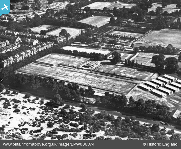
EPW006874 ENGLAND (1921). Roehampton Club, Roehampton, 1921. This image has been produced from a print.
© Copyright OpenStreetMap contributors and licensed by the OpenStreetMap Foundation. 2026. Cartography is licensed as CC BY-SA.
Nearby Images (2)
EPW006874

EPW006872

Details
| Title | [EPW006874] Roehampton Club, Roehampton, 1921. This image has been produced from a print. |
| Reference | EPW006874 |
| Date | 10-July-1921 |
| Link | |
| Place name | ROEHAMPTON |
| Parish | |
| District | |
| Country | ENGLAND |
| Easting / Northing | 521967, 175377 |
| Longitude / Latitude | -0.24403693114555, 51.463718177093 |
| National Grid Reference | TQ220754 |
Pins

Dom |
Tuesday 31st of March 2020 01:46:52 PM |