
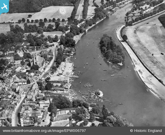
EPW006797 ENGLAND (1921). Garrick's Ait, St Mary's Church and Thames Street, Hampton, 1921. This image has been produced from a damaged copy-negative.
© Copyright OpenStreetMap contributors and licensed by the OpenStreetMap Foundation. 2026. Cartography is licensed as CC BY-SA.
Nearby Images (7)
EPW006797

EPW006795

EPW022851

EAW000155

EAW000156

EAW000153

EAW000152

Details
| Title | [EPW006797] Garrick's Ait, St Mary's Church and Thames Street, Hampton, 1921. This image has been produced from a damaged copy-negative. |
| Reference | EPW006797 |
| Date | 25-June-1921 |
| Link | |
| Place name | HAMPTON |
| Parish | |
| District | |
| Country | ENGLAND |
| Easting / Northing | 514065, 169401 |
| Longitude / Latitude | -0.35967608297802, 51.411648567462 |
| National Grid Reference | TQ141694 |
Pins

Nowy Paul |
Sunday 5th of November 2017 02:59:32 PM |